Water City Tours
In what ways is New Orleans a water city? In April, WLI partnered with Arts Council New Orleans and the City of New Orleans Office of Resilience & Sustainability to lead two virtual “water city tours” exploring that question. We led youth, artists, and Gentilly residents on a big loop through the region, starting in the St. Anthony neighborhood and making stops at Spanish Fort, the lakefront, Bonnet Carré Spillway, River Road, Carrollton Water Purification Plant, and Bayou St. John. Together, we explored different aspects of our water and flood protection systems, and the ways in which we’ve shaped our delta environment and our relationship to regional waterways and waterfronts.
Jump aboard the virtual tours here & here.
Image Credits
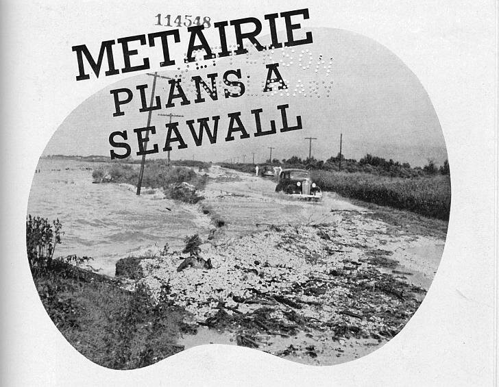
The lakefront, before levees were constructed.
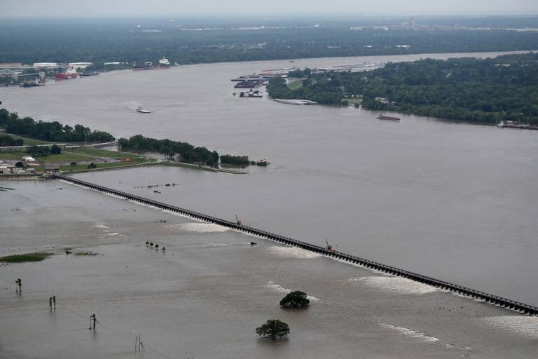
Image: Jefferson Parish Yearly ReviewBonnet Carre Spillway, open, and looking downriver.
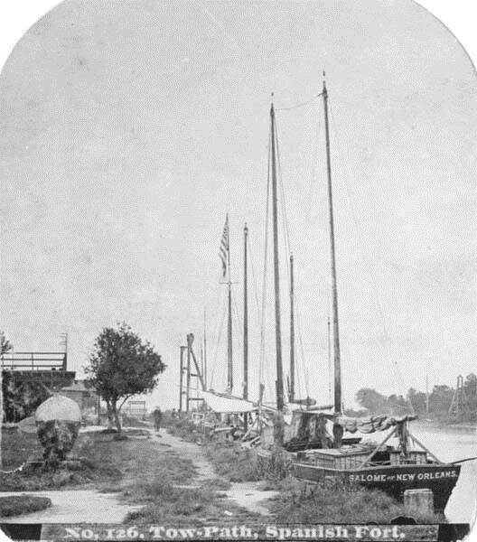
Photo: Gerald Herbert, Associated PressBayou St. John, Spanish Fort
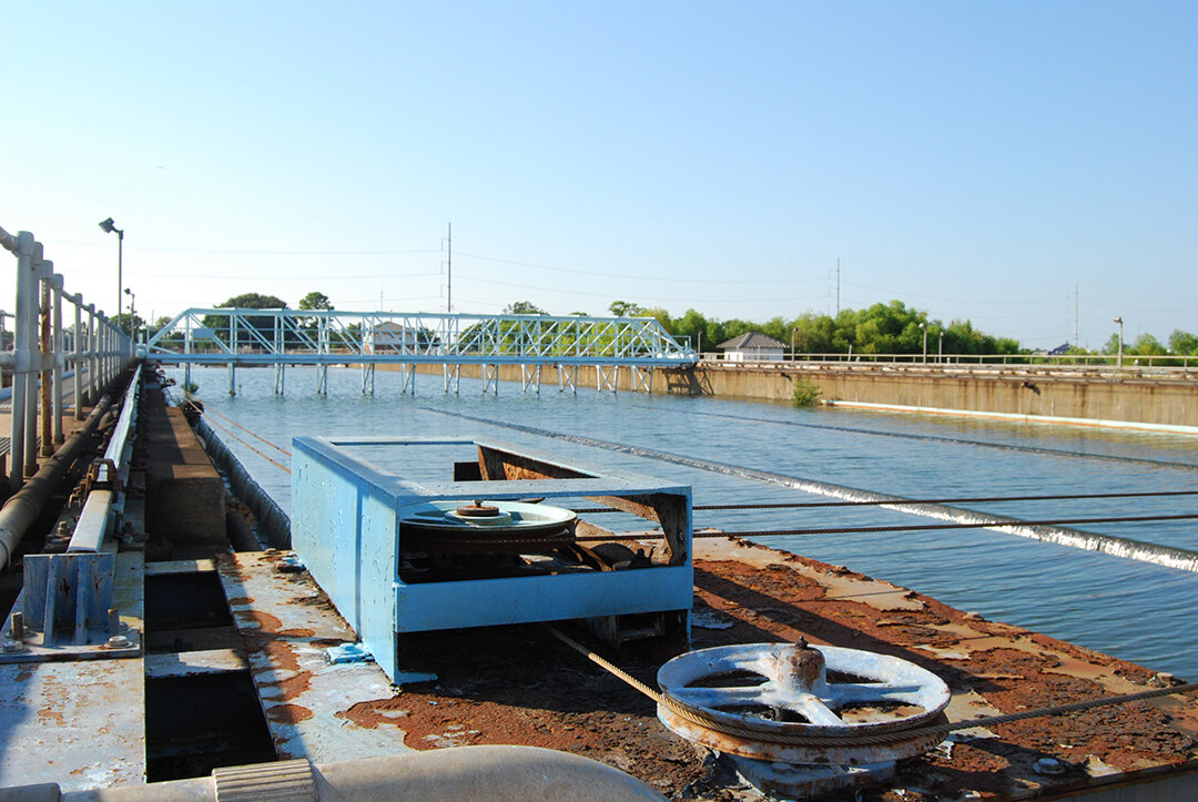
Image: New Orleans Public Library, Louisiana DivisionSWBNO's Carrollton Water Purification Plant
Photo: Liam Grealy